
 ka
ka
 en
en
 ru
ru


 30025
30025
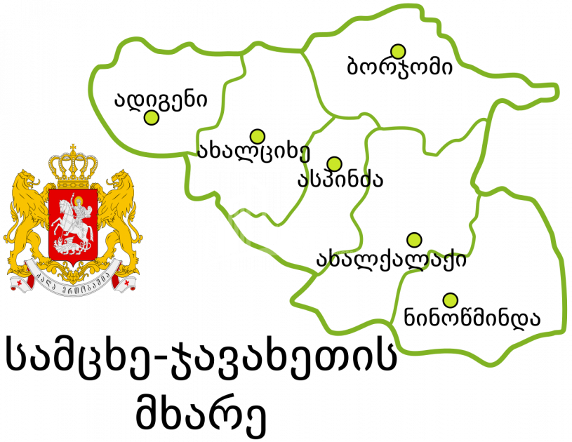
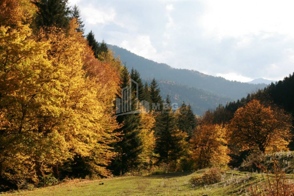
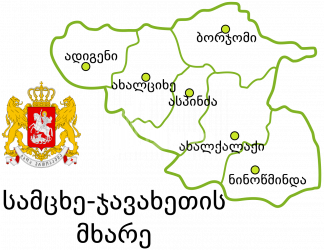
Samtskhe-Javakheti region - a region in southern Georgia, includes the territories of the historical-geographical provinces of Samtskhe, Javakheti and Tori.
- The area of the region is 6413 sq. Km, the population is 160 504 (2014), of which 48.28% were ethnic Georgians and 50.52% were Armenians. Population density per 1 sq. Km - 24.6 people.
- The administrative center of the region is the city of Akhaltsikhe. There are 353 settlements in the region, including:
- City - 5: Akhalkalaki, Akhaltsikhe, Borjomi, Vale, Ninotsminda;
- Daba - 7: Bakuriani, Bakuriani andesite, Tsaghveri, Akhaldaba, Adigeni, Abastumani, Aspindza;
- Village - 258.
Local self-government in the region is exercised by representative (Sakrebulo) and executive bodies according to the following administrative-territorial units:
- Adigeni Municipality;
- Aspindza Municipality;
- Akhalkalaki Municipality;
- Akhaltsikhe Municipality;
- Borjomi Municipality;
- Ninotsminda Municipality.
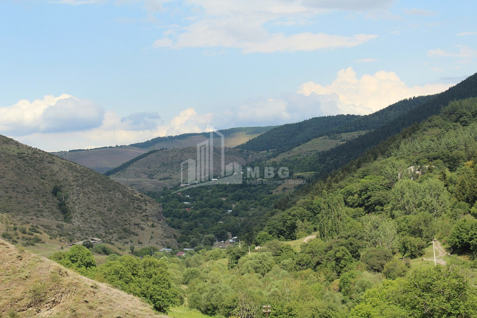
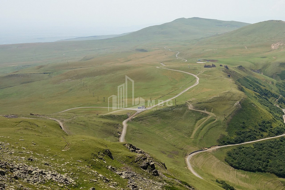
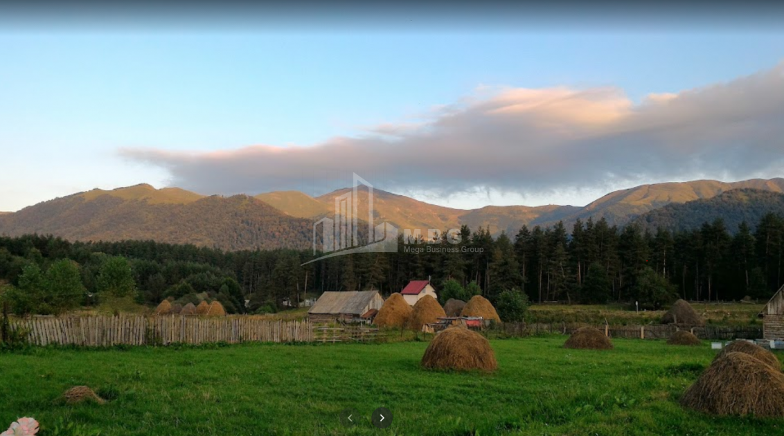
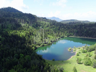
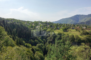
- Javakheti is a historical-geographical region in southern Georgia. Includes the territory of the current Akhalkalaki and Ninotsminda municipalities. Historically, it was bordered on the west by the Mtkvari River (the left tributary of the river from Mgeltsikhe to Aspindza was also included in Javakheti), on the north, south and east by the Shavvasheti, Samsar and Nialiskuri mountains.
- Samtskhe - historical-geographical part of Georgia, part of historical Meskheti. There is an opinion that this side used to be called Odzrkhe. Its historical borders are: Arsian Mountains in the west, Fersati Mountains in the north, Erusheti Mountains in the south, Kasrisser, Gumbati and Vani mountains, Chobiskhevi in the east.
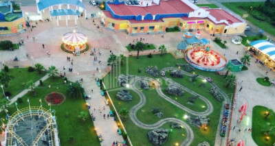
Resorts
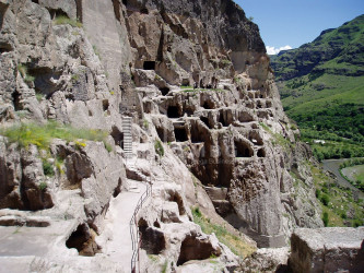
Abastumani - a small town (since 1926) in Georgia, in the Adigeni municipality of the Samtskhe-Javakheti region. It is located on the southern slope of the Meskheti Range, in the gorge of the river Otskhi. It is 25 kilometers away from Adigeni and 28 kilometers from Akhaltsikhe. There are tub sanatoriums in Abastumani, Abastumani Astrophysical Observatory, culture, education and healthcare facilities.
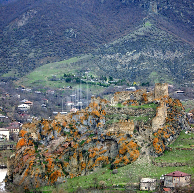
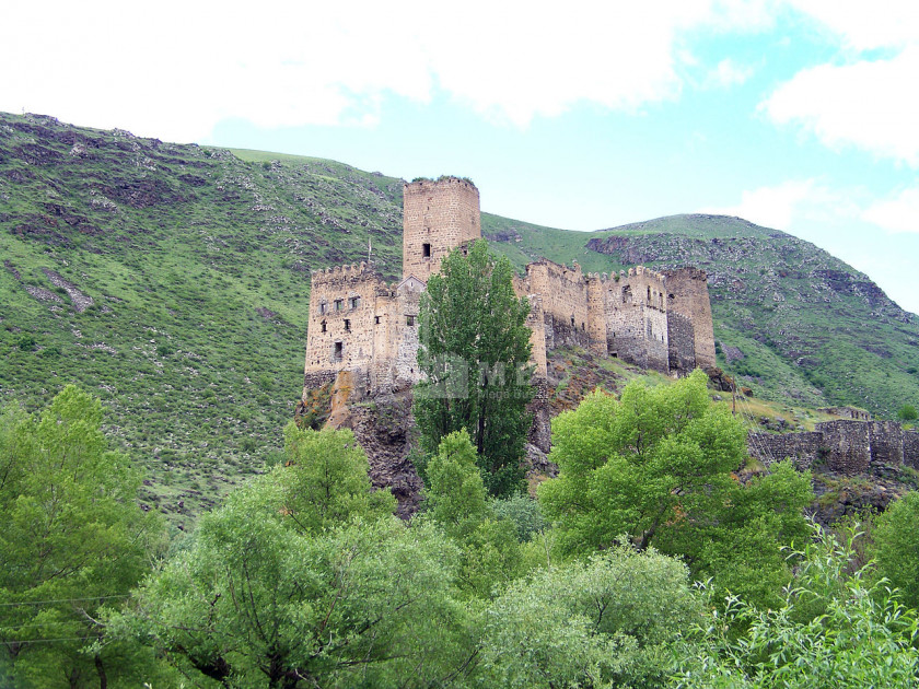
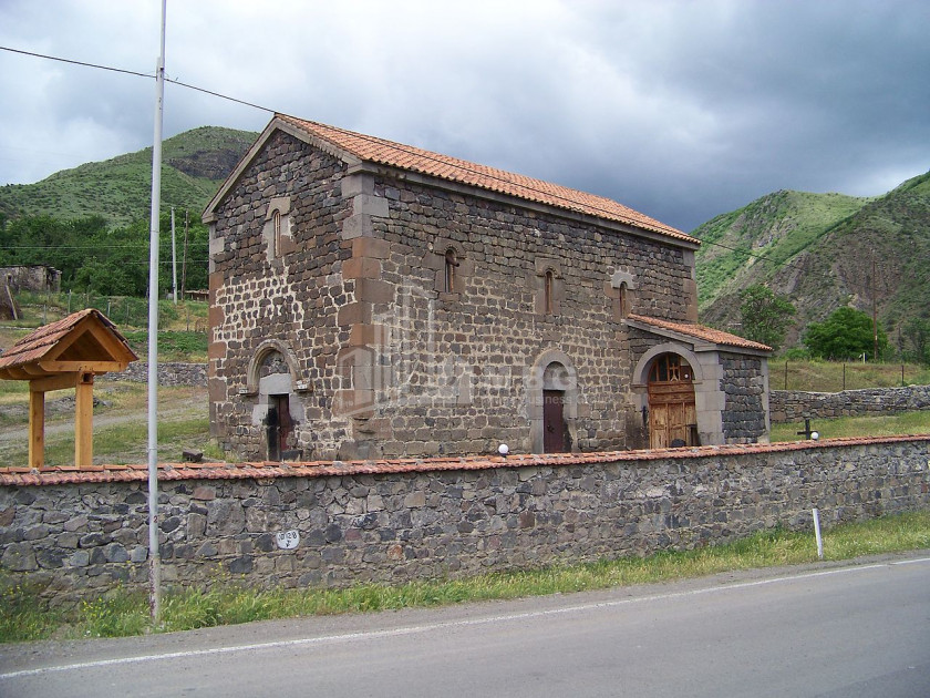
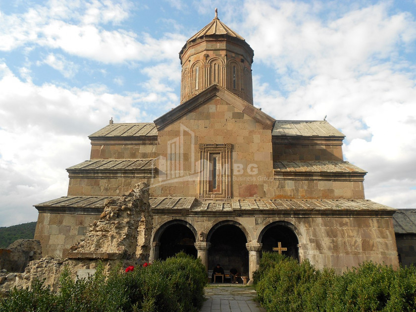
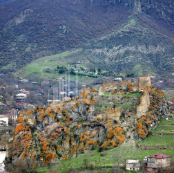
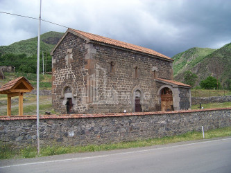
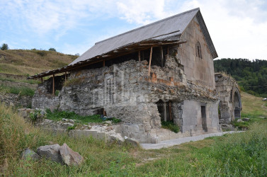
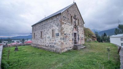
Aspindza - a small town in Georgia, the center of Aspindza Municipality and community. It is located in the eastern part of the Akhaltsikhe Basin, on the right bank of the Mtkvari River, at the confluence of the Oti River, at 1090 meters above sea level, at the 11th highway, 34 km southeast of Akhaltsikhe, 248 km from Tbilisi. There are architectural monuments of X-XII centuries in the village.
Nakalakevi - is a village in southern Georgia, in the Aspindza municipality of the Samtskhe-Javakheti region. Community center (villages: Tmogvi, Mirashkhani, Fia). Located on the right bank of the river Mtkvari, at 1360 meters above sea level. It is 24 kilometers away from Aspindza. In the vicinity of the village was the old town of Tsunda. There is a Teshenite deposit in the village.
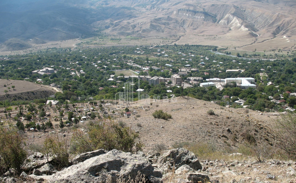
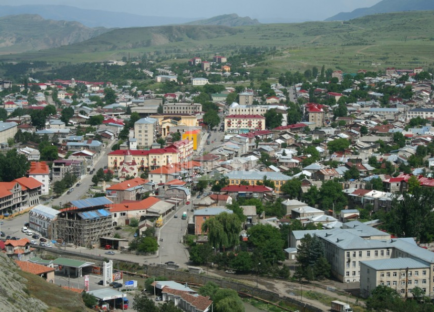
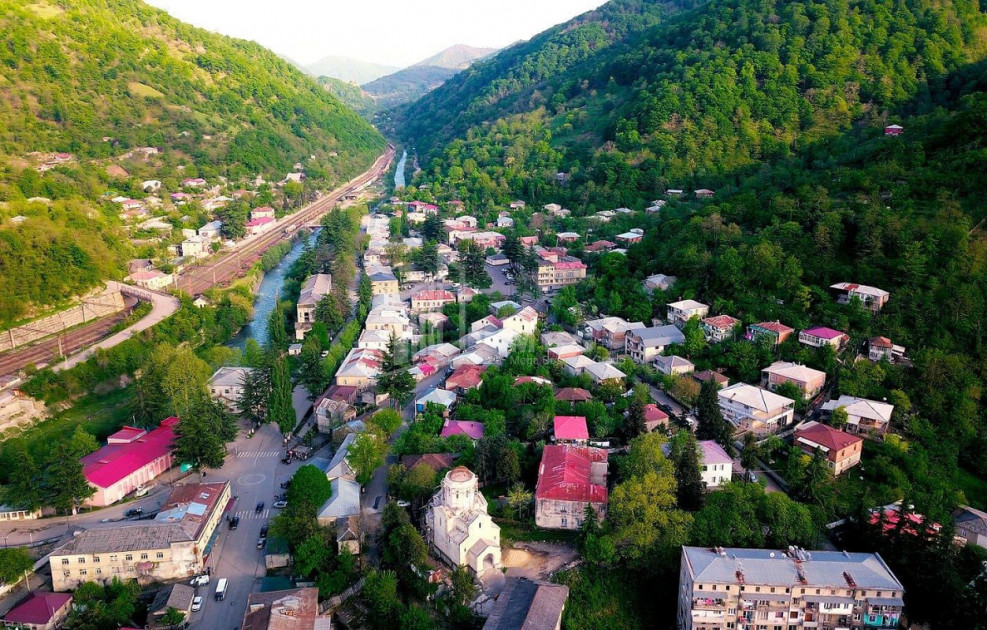
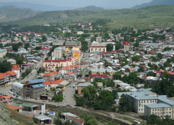
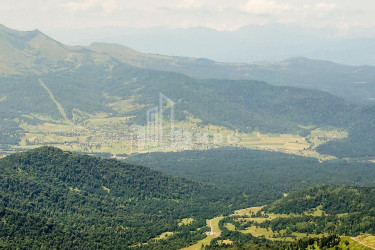
Akhaltsikhe - in ancient times Lomsia - a city in Georgia, the administrative center of Samtskhe-Javakheti region and Akhaltsikhe municipality, the center of historical Samtskhe. Located in southern Georgia, in the Akhaltsikhe basin, on both banks of the river Potskhovistskali, at an altitude of 1000 m above sea level. 214 km from Tbilisi. There is a mountain steppe climate in Akhaltsikhe. Knows cold, snowy winters and long, warm summers. The average temperature in January is -3.8 ° C, in August 20.5 ° C. Absolute minimum -32 ° C, absolute maximum 39 ° C.
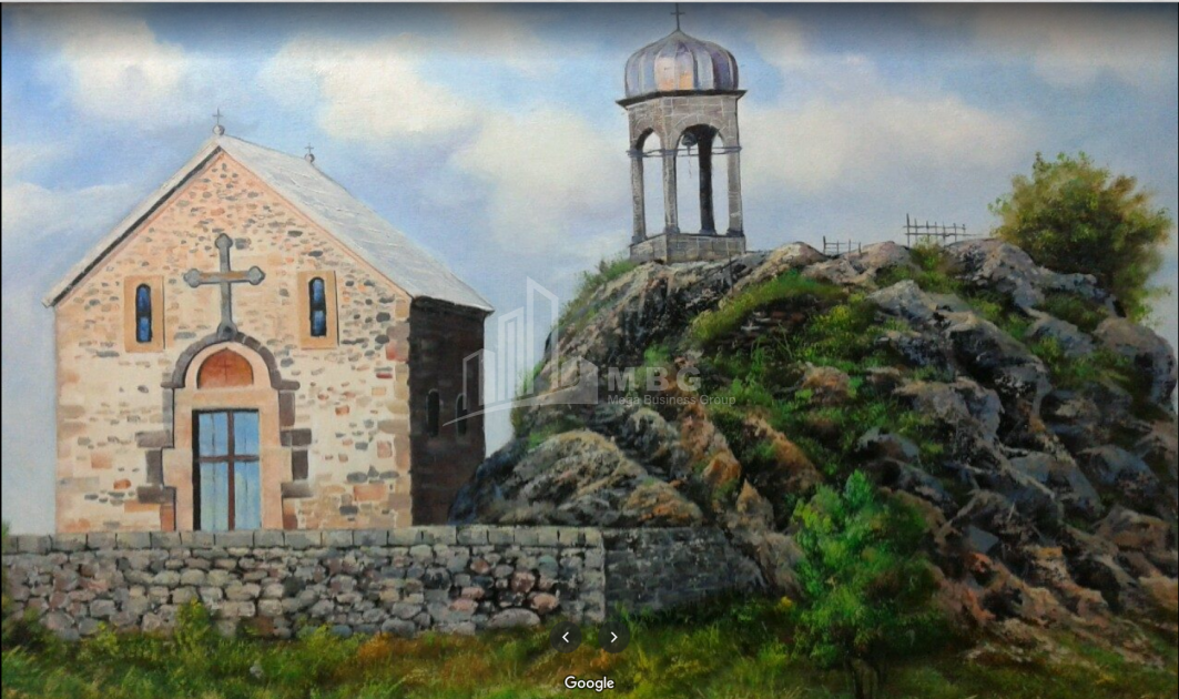
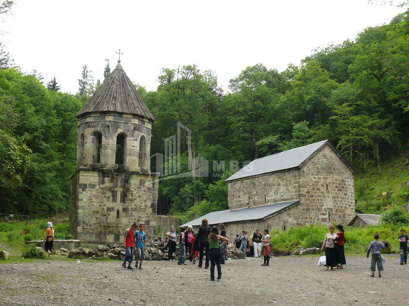
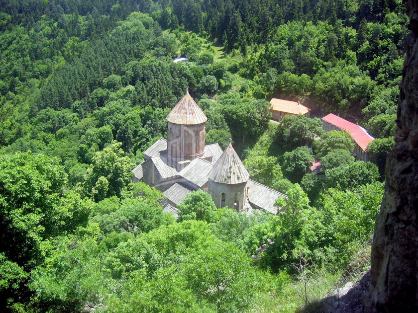
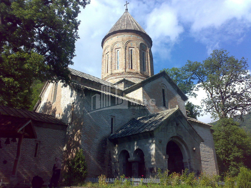
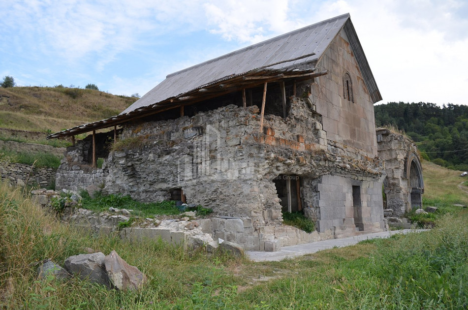
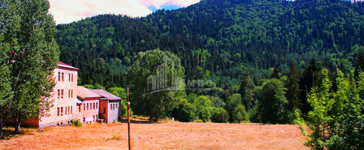
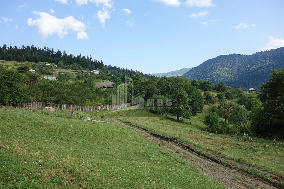
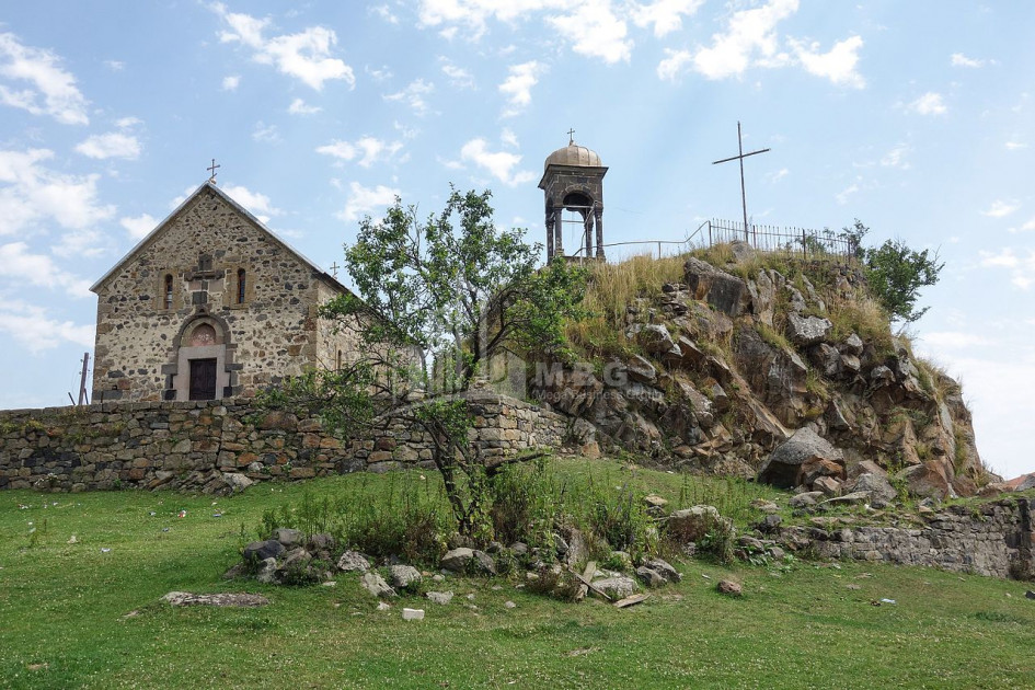
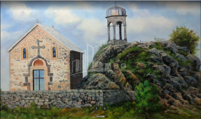
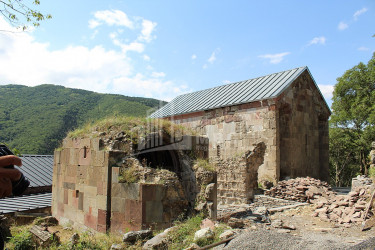
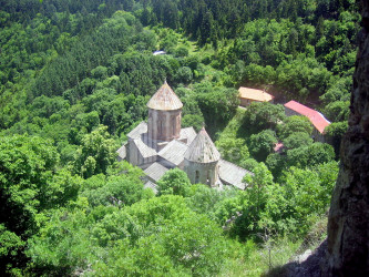
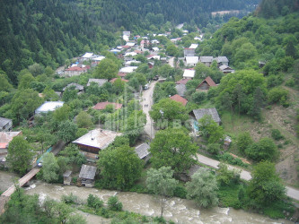
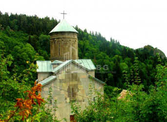
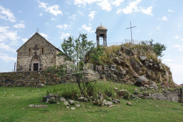
Tsikhisjvari - is a village in Borjomi municipality. It is located in the Tori Cave, on the banks of the river Shavreshli (one of the constituents of Borjomi), 1640 meters above sea level, 41 kilometers from Borjomi. Tsikhijvari Church, Tsikhisjvari is a climatic-balneological resort of local importance. There is a medieval architectural complex in the village: Tsikhisjvari Fortress, Nadarbazevi and a church.
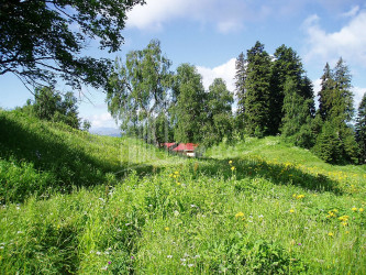
Tsemi - village in Borjomi municipality (in the lake community). Located on the left bank of the river Bakurianistskali (Mtkvari basin). 1120 meters above sea level, 17 kilometers from Borjomi. Included in the group of Borjomi resorts. Knows moderately mild, snowy winters. The duration of sunshine is 2200 hours. Precipitation is 550 mm per year. The healing factor is the climate. Medical indications: Chronic diseases of the respiratory organs.
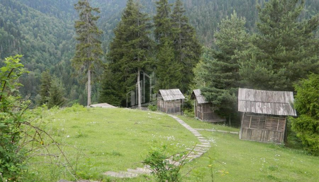
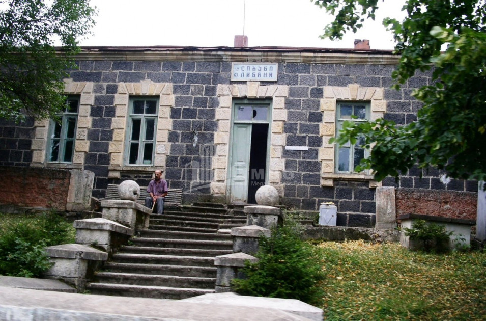
Tba - village in Borjomi municipality, community center (villages: Lebanon, Patara Tsemi, Sadgeri, Tsemi). It is located on the right side of the river Borjomi (right tributary of the Mtkvari), 1100 meters above sea level, 9 kilometers from Borjomi. The lake is a mountain climatic resort of local importance. Knows cold snowy winters (average January temperature is -4.3 ° C) and long cool summers (average August temperature is 17.2 ° C). Medical indications: Respiratory diseases, especially in children.
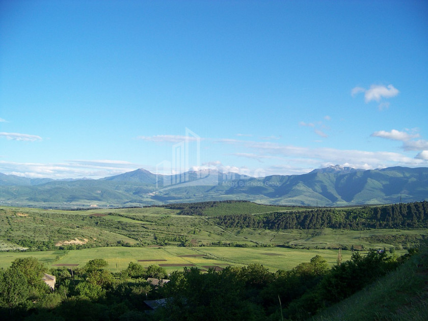
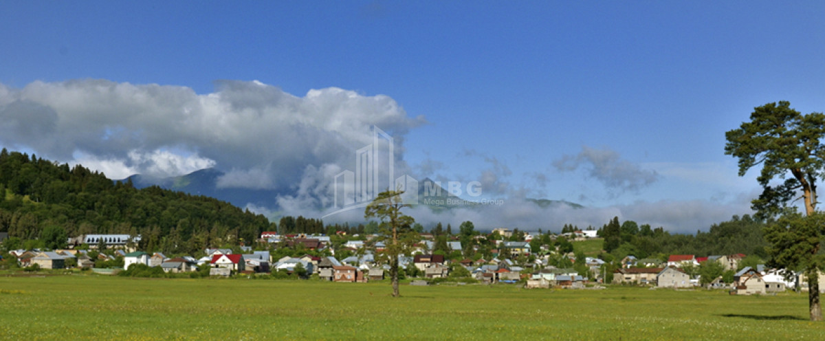
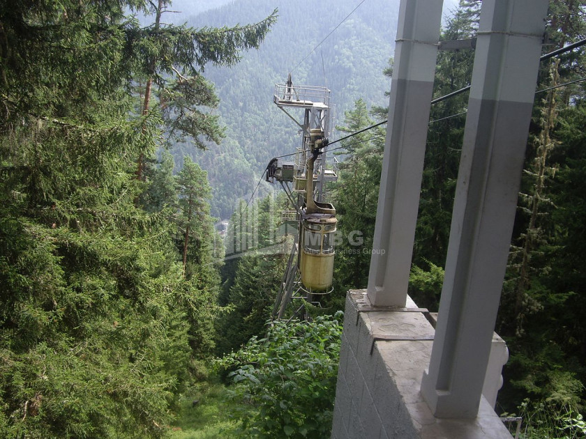
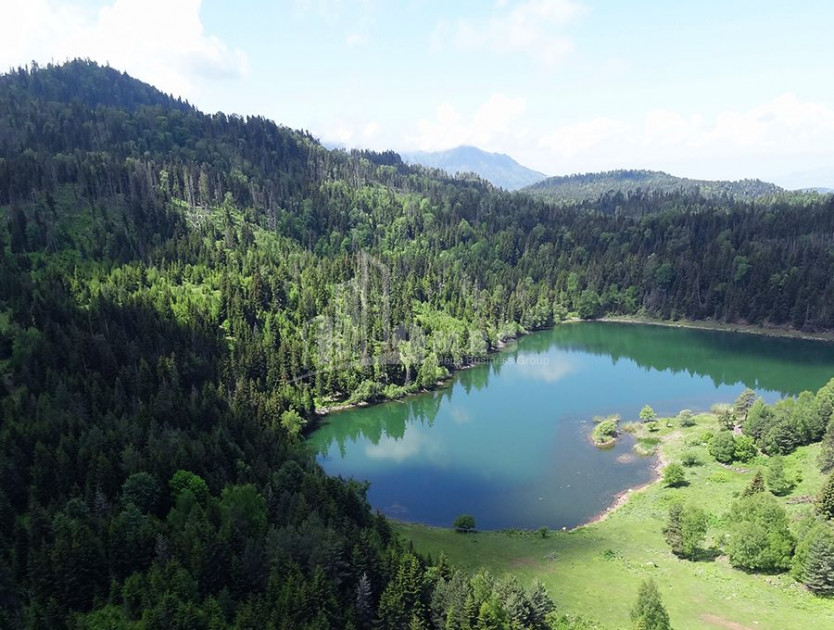
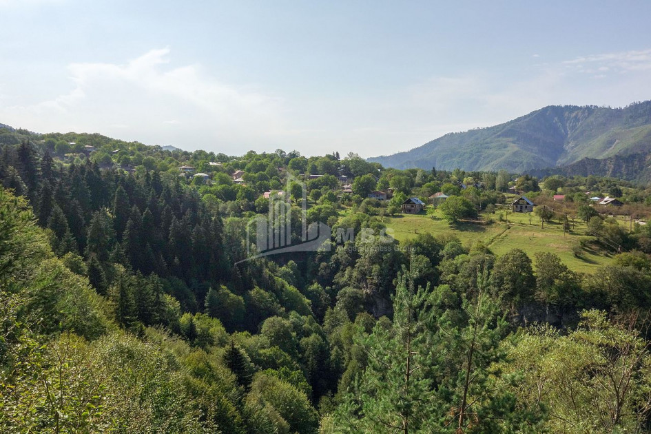
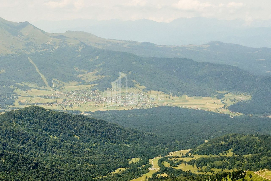
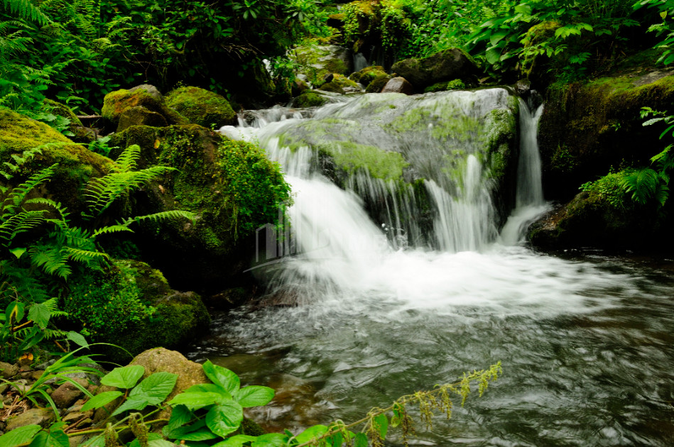
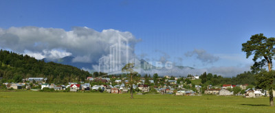
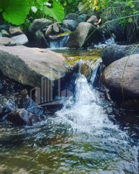
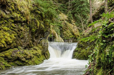
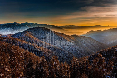
Borjomi - a city and resort in Eastern Georgia, the administrative center of Borjomi Municipality. Population 10,546 people (2014). In Borjomi there is a department and residence of Borjomi and Bakuriani Diocese, educational and cultural institutions. It is located in Borjomi gorge, at the confluence of the rivers Mtkvari and its right tributaries Borjomula and Gujaretistskali, on the eastern forest slopes of the Meskheti Range and the western Trialeti Range (mostly coniferous), at an altitude of 800-900 meters above sea level. 150 km from Tbilisi. The city is bordered on the east by Borjomi-Kharagauli National Park. The climate is moderately humid. Knows moderately cold winters and long warm summers. The average annual temperature is 8.3 ° C, January -2.8 ° C, July 19 ° C. Absolute minimum -29 ° C, abs. Maximum 37 ° C. Precipitation is 653 mm per year, maximum in May and June, minimum in December. Duration of sunshine 850-1900 hours per year. The Khashuri-Vale railway line runs through Borjomi. It is connected to Bakuriani by a narrow-gauge railway. Khashuri Vale and Borjomi-Akhalkalaki roads pass through Borjomi. Borjomi is a balneological and climatic resort. The Soviet Union at the time had the status of a Union resort. According to the relief and microclimatic peculiarities, there are several districts in Borjomi, of which Likani, porridge and plateau are distinguished by particularly favorable conditions for treatment. The main treatment of the resort is mineral water, which is used for drinking and balneological procedures. Other medical factors of Borjomi are climatotherapy, mud treatment and others. The best time for climatotherapy is June-October. Medical indications: chronic diseases of the gastrointestinal tract, liver and bile ducts, metabolic disorders, some diseases of the cardiovascular system. The season lasts all year round.
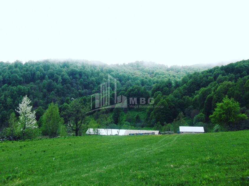
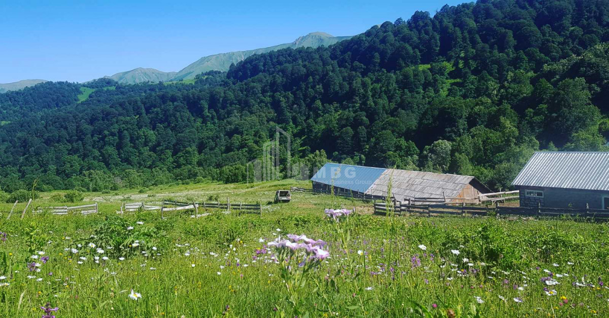
Near Borjomi are located Borjomi group resorts Akhaldaba, Kvishkheti, Tsaghveri, Tsemi, Lebanon, Patara Tsemi, Bakuriani, Tsikhisjvari.
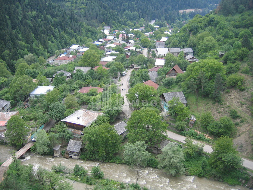
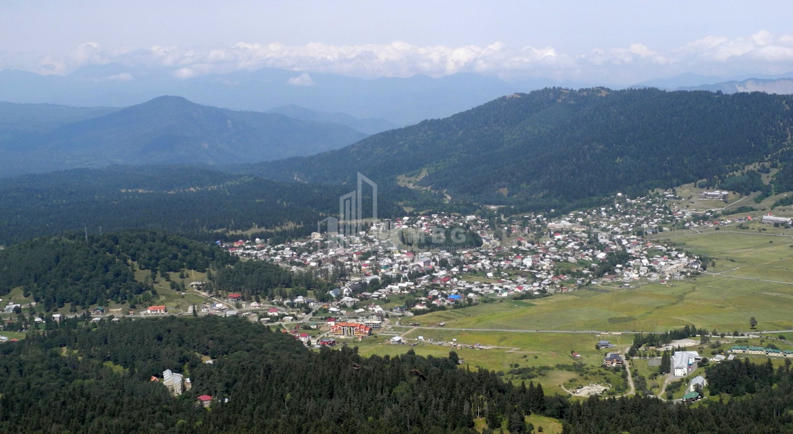
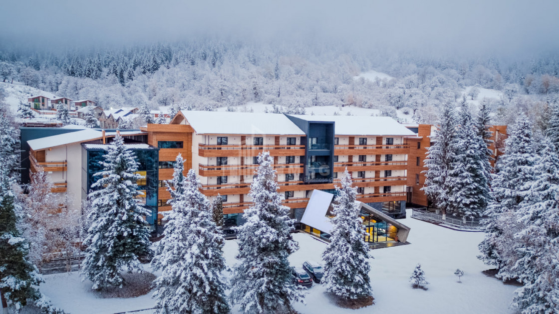
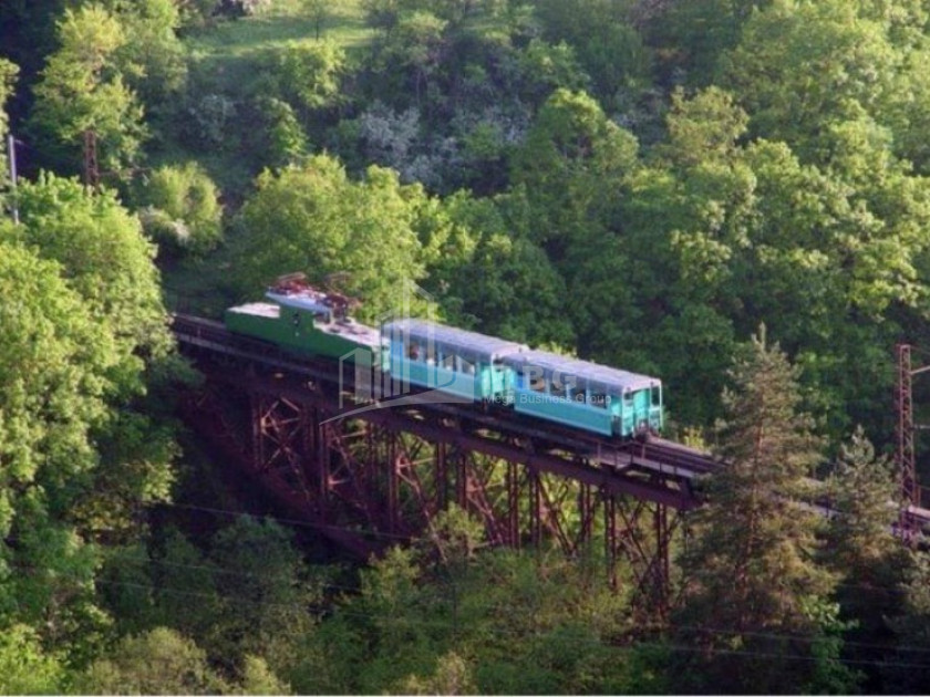
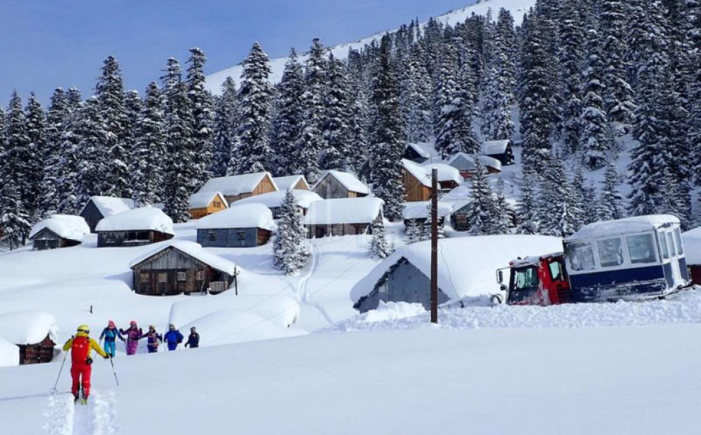
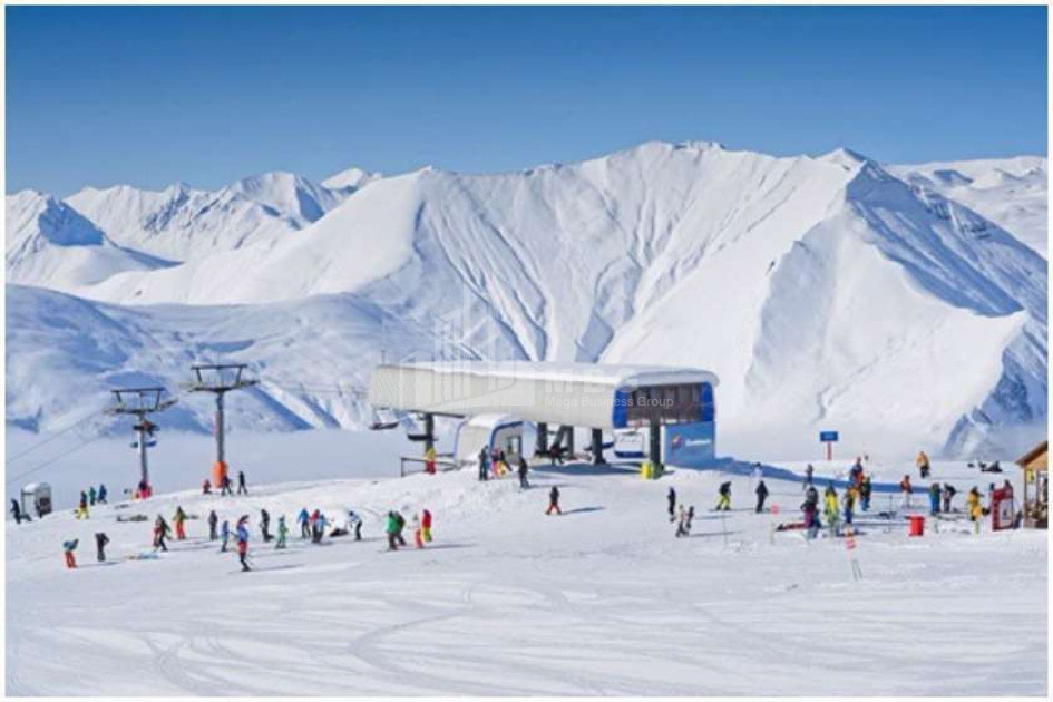
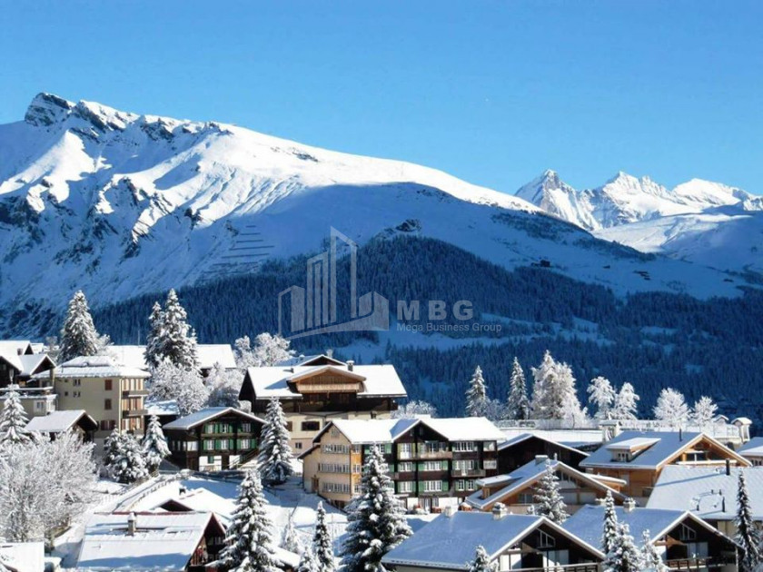
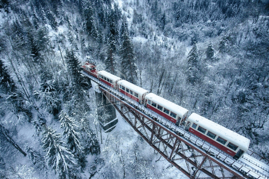
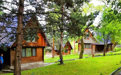
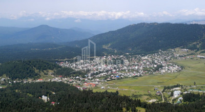
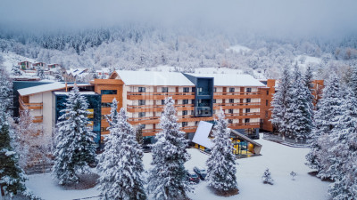
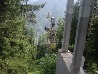
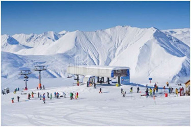
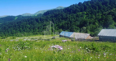
Bakuriani - a small town in Borjomi municipality. Community center (settlements: Bakuriani, Bakuriani andesite, Didi Mitarbi, Machartskali, Patara Mitarbi, Tori, Tsinubani). Is the last point of the Borjomi-Bakuriani railway line. Remains of megalithic culture have been found in Bakuriani, the cult building of the early feudal era "Pantnari Temple" has been preserved. Bakuriani is a popular mountain and ski resort. Bakuriani is located on the northern slope of the Trialeti Range, on the bank of the river Bakurianistskali (a tributary of the Gujaratistskali), 1700 m above sea level, 30 km from Borjomi. Bakuriani is spread by E. წ. At the foot of Bakuriani Cave, which is built of lava erupted from the volcano Mukherjee. The climate is transitional from the sea to the moderately humid continent, winter - cold, snowy, summer - long. The average annual temperature is 4.3 ° C, January 7.2 ° C, August 15 ° C. Precipitation is 734 mm per year. Snow cover (64 cm thick) from early December to late March. Bakuriani area is covered with coniferous forest. Bakuriani Botanical Garden is cultivated in the vicinity of Dabi.
Winemaking
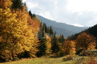
Meskheti is probably one of the most mountainous regions of viticulture not only in Georgia but all over the world. The vine is found here at an altitude of 900-1700 meters above sea level, ie 900 meters is the lower limit in Meskheti.
- Meskhetian Sapere is a local vine variety from Meskheti, it is distinguished by dark burgundy, cheerful, pleasant aroma. Can be used to make table red wines of local importance. Less susceptible to fungal diseases. Great resistance to frost. This variety was found in the form of unit roots in the Aspindza area. Collectible variety.
- Meskhetian Black is a local vine variety, namely from Meskheti. It produces burgundy-colored, aromatic wine. It is a variety of late ripening period. It is characterized by considerable resistance to fungal diseases. Great resistance to drought and frost. It was found in the form of highlands in the vineyards of Aspindza and Akhaltsikhe districts. Collectible variety.


